| |||
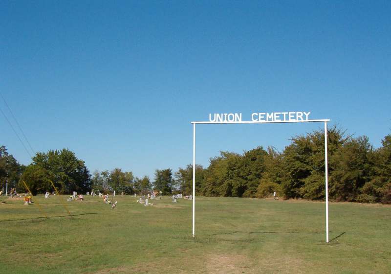
LOCATION: Union Cemetery at Taylortown is located in the southeast quadrant of the county on the east side of Taylortown Union Church. The real name of the cemetery is 'Union Cemetery' and it is called 'Taylortown' in the cemetery database records to avoid confusion because another cemetery in the county is called Union Grove. It is in Block 62 of the Lamar County Road Map produced by American Drafting and Services revised December 1993. DIRECTIONS: The cemetery is in the community called Taylortown on Farm Market Road 1498 near the southern county line and Sulphur River. It is about 1.5 miles from the intersection of Farm Market Road 1497 and Farm Market Road 1498. GPS COORDINATES: 33° 27' 28.72 N, 95° 28' 26.44 W
(33.45797 Latitude and -95.47399 Longitude)OLDEST KNOWN BURIAL: The oldest inscribed grave is that W. Jesse Abbott who died 27 Sep 1950. NUMBER OF GRAVES: There are 161 known graves in the cemetery. (July 2017) SIGNS/MARKERS: There is a state highway marker for the cemetery. Historic Texas Cemetery: No Texas Historical Commission Marker: No
LAST ENUMERATION: The cemetery was recorded by Ron Brothers in the spring of 1991. ADD'L INFORMATION: None. PICTURE(S):
View pictures of the headstones.
Search for names in this and other cemeteries.
Return to the map page.
Return to the list of cemeteries.
Return to the main Lamar County, TX page.
Special thanks to Jeff Kemp for designing the Lamar County banner. |
|
|
Copyright © 1996 —
— The Lamar County TX Website Team This website adheres to the NGS "Standards for Sharing Information with Others" regarding copyright, attribution, privacy, and the sharing of sensitive information. |