| |||
LOCATION: Sylvan Cemetery is located in the southeast quadrant of the county. It is in Block 42 of the Lamar County Road Map produced by American Drafting and Services revised December 1993. DIRECTIONS: From the traffic signal in Reno on Hwy 82, take Hwy 82 easterly for 1.6 miles to the intersection with FM 2121. Take FM 2121 south toward Sylvan community for 1.7 miles and the cemetery is on the left about 100 yards to the north. GPS COORDINATES: 33° 38' 38.6160'' N, 95° 25' 37.8120'' W
(33.64406 Latitude and -95.42717 Longitude)OLDEST KNOWN BURIAL: The oldest inscribed grave is that of William M. Jones who died 10 May 1868. NUMBER OF GRAVES: There are 402 known graves in the cemetery. (July 2017) SIGNS/MARKERS: There is a state highway marker for the cemetery. Historic Texas Cemetery: No Texas Historical Commission Marker: No
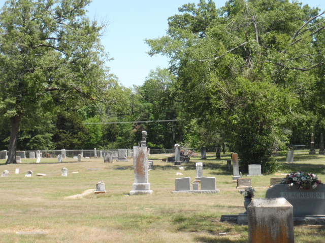
LAST ENUMERATION: The cemetery was recorded by Ron Brothers in early 1991. It was photographed by Mary Hall Ferguson in Dec 2006. ADD'L INFORMATION: Sylvan Cemetery Website PICTURE(S):
View pictures of the headstones.
Search for names in this and other cemeteries.
Return to the map page.
Return to the list of cemeteries.
Return to the main Lamar County, TX page.
Special thanks to Jeff Kemp for designing the Lamar County banner. |
|
|
Copyright © 1996 —
— The Lamar County TX Website Team This website adheres to the NGS "Standards for Sharing Information with Others" regarding copyright, attribution, privacy, and the sharing of sensitive information. |