| |||
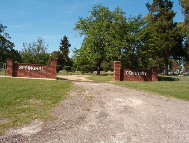
LOCATION: Springhill Cemetery is located in the northeast quadrant of the county. It is in Block 18 of the Lamar County Road Map produced by American Drafting and Services revised December 1993. DIRECTIONS: The cemetery is on Farm Market Road 2648 in the Medill Community about 7.25 miles from the intersection of Highway 271 and Farm Market Road 2648. GPS COORDINATES: 33° 47' 24.7914" N, -95° 24' 24.7098" W.
(33.79022 Latitude and -95.406864 Longitude)OLDEST KNOWN BURIAL: The oldest known grave is that of Joseph McCarty who died 15 May 1853. NUMBER OF GRAVES: There are 811 known graves in the cemetery. (July 2017) SIGNS/MARKERS: There is a state highway marker for the cemetery. Historic Texas Cemetery: No Texas Historical Commission Marker: No
LAST ENUMERATION: The records were first copied from the book, Springhill Cemetery, 1853-1989, by Mildred Allen. The information was then verified by walking the cemetery and the locations were plotted by Ron Brothers in November 1990. ADD'L INFORMATION: The cemetery association has published a book and the following is a review. THE LAMAR COUNTY ECHO, Thursday, July 18, 1989, p. 6: 'The master plot plan was produced by the Springhill Cemetery Plotting Committee. After Oliver and Mildred Allen started work on their idea of plotting the cemetery, they realized that they would need help. The Allens and several volunteers formed the plotting committee and completed the project. Those that worked on the plotting project and helped with the book are mentioned on the acknowledgement page in the front of the cemetery publication. The book contains three sections of pictures. One sections shows scenes from workdays at the cemetery. Bygone days of the Springhill Community are featured in a second picture section which depicts the Medill School, the C.T. England store and slices of community life. A third is titled, 'The Remembered' and is made up of photographs of some of those buried in the cemetery. Documents show that Springhill Cemetery was active from around 1852 and may have been in used before that time. Dr. John Davis from New Jersey came to the area and received a land grant for 1280 acres of land on Sept. 3, 1835. This property lay on the north side of the present Farm-to-Market Road 2648 and the cemetery. Dr. Davis's brother, Isiah Davis, settled on the property south of the present FM 2648. A settlement sprang up in the area and was called Davis Springs. The cemetery started as a family cemetery and was called Davis Cemetery. The earliest documented burials are of the Davis and McCarty families. Near the end of the 1800's the name Springhill seems to have materialized.' PICTURE(S):
View pictures of the headstones.
Search for names in this and other cemeteries.
Return to the map page.
Return to the list of cemeteries.
Return to the main Lamar County, TX page.
Special thanks to Jeff Kemp for designing the Lamar County banner. |
|
|
Copyright © 1996 —
— The Lamar County TX Website Team This website adheres to the NGS "Standards for Sharing Information with Others" regarding copyright, attribution, privacy, and the sharing of sensitive information. |