| |||
LOCATION: Rocky Ford Cemetery is a Black cemetery located in the southwest quadrant of the county. It is in Block 45 of the Lamar County Road Map produced by American Drafting and Services revised December 1993. It should not be confused with Rockford Cemetery in the southeast part of the county. DIRECTIONS: The cemetery is about one mile west of Roxton on Highway 137 on the north side of the road. GPS COORDINATES: 33° 34' 32.42 N, 95° 43' 38.78 W
(33.5756722 Latitude and -95.7274389 Longitude)OLDEST KNOWN BURIAL: The oldest inscribed grave is that of Hannah L. Griffith who died 20 Jun 1881. NUMBER OF GRAVES: There are 419 known graves in the cemetery. (July 2017) SIGNS/MARKERS: There is a state highway marker for the cemetery. Historic Texas Cemetery: No Texas Historical Commission Marker: No)
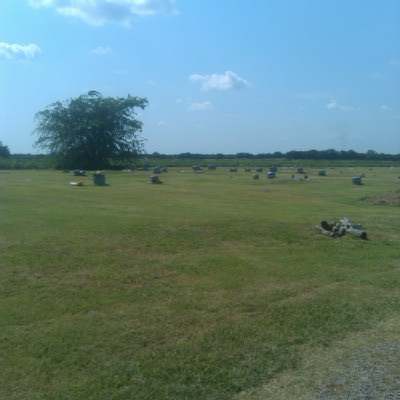
LAST ENUMERATION: The cemetery was recorded in April 1993 by Ron Brothers. ADD'L INFORMATION: Rocky Ford Cemetery is a very old burial ground. There are many unmarked graves among the graves that have some sort of marker or have record of an obituary. PICTURE(S):
View pictures of the headstones.
Search for names in this and other cemeteries.
Return to the map page.
Return to the list of cemeteries.
Return to the main Lamar County, TX page.
Special thanks to Jeff Kemp for designing the Lamar County banner. |
|
|
Copyright © 1996 —
— The Lamar County TX Website Team This website adheres to the NGS "Standards for Sharing Information with Others" regarding copyright, attribution, privacy, and the sharing of sensitive information. |