| |||
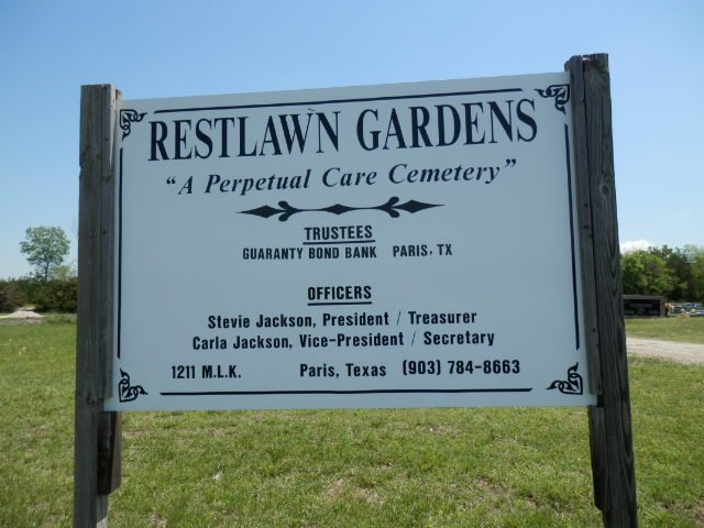
LOCATION: Restlawn Gardens Cemetery is a black cemetery located in the northeast quadrant of the county. It is in Block 24 of the Lamar County Road Map produced by American Drafting and Services revised December 1993. DIRECTIONS: The cemetery is 2.7 miles north of the intersection of North Loop 286 and State Highway 271 North on the right (east) side of the road. GPS COORDINATES: 33° 43' 30.252 N, -95° 32' 51.5754 W
(33.72507 Latitude and Longitude -95.54766)OLDEST KNOWN BURIAL: The oldest inscribed grave is that of Martin V. Baccus who died in 1927. NUMBER OF GRAVES: There are 1,617 known graves in the cemetery. (July 2017) SIGNS/MARKERS: There is a state highway marker for the cemetery. Historic Texas Cemetery: No Texas Historical Commission Marker: No
LAST ENUMERATION: The cemetery was recorded by Ruth Renfro and Roberta Woods in October 1992. ADD'L INFORMATION: None PICTURE(S): Cemetery photo courtesy of Lawrence and Sue Dale.
View pictures of the headstones.
Search for names in this and other cemeteries.
Return to the map page.
Return to the list of cemeteries.
Return to the main Lamar County, TX page.
Special thanks to Jeff Kemp for designing the Lamar County banner. |
|
|
Copyright © 1996 —
— The Lamar County TX Website Team This website adheres to the NGS "Standards for Sharing Information with Others" regarding copyright, attribution, privacy, and the sharing of sensitive information. |