| |||
LOCATION: Restland Cemetery is located in the southwest quadrant of the county. It is in Block 45 of the Lamar County Road Map produced by American Drafting and Services revised December 1993. DIRECTIONS: The cemetery is southwest of the community of Roxton on Highway 38. GPS COORDINATES: 33° 32' 24.04 N, 95° 43' 44.56 W
(33.5400111 Latitude and -95.7290444 Longitude)OLDEST KNOWN BURIAL: The oldest inscribed grave is that of Susannah Maness who died 9 Jul 1869. NUMBER OF GRAVES: There are 2,130 known graves in the cemetery. (July 2017) SIGNS/MARKERS: There is a state highway marker for the cemetery. Historic Texas Cemetery: No Texas Historical Commission Marker: No
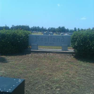
LAST ENUMERATION: The cemetery was recorded in March, 1992, by Ron Brothers, Patricia Ferguson, Ruth Renfro, and Roberta Woods. ADD'L INFORMATION: In this compilation the cemetery is divided into 14 different sections that are bordered by dirt roads. The 4 sections nearest Highway 38 are called FRONT sections, the next 5 sections, west, are called CENTER sections, and the 5 sections in the rear or far western part of the cemetery are called BACK sections. Facing west, the two back sections (center and back) are termed SSW, SW, CENTER, NW, NNW. The center section in back is termed BACK MIDWEST. PICTURE(S):
Search for names in this and other cemeteries.
Return to the map page.
Return to the list of cemeteries.
Return to the main Lamar County, TX page.
Special thanks to Jeff Kemp for designing the Lamar County banner. |
|
|
Copyright © 1996 —
— The Lamar County TX Website Team This website adheres to the NGS "Standards for Sharing Information with Others" regarding copyright, attribution, privacy, and the sharing of sensitive information. |