| |||
LOCATION: Reeds Chapel Cemetery is a Black cemetery located in the northeast quadrant of the county It is in Block 10 of the Lamar County Road Map produced by American Drafting and Services revised December 1993. DIRECTIONS: The cemetery is about 4.7 miles east of the intersection of Highway 271 and Farm Market Road 906 on Farm Market Road 906, on the north side of the road about 50 yards from the road. GPS COORDINATES: 33° 50' 51.921" N, -95° 25' 46.428" W
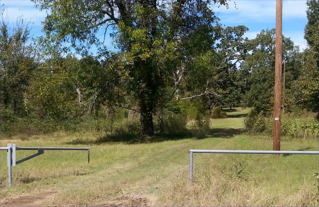
(33.84775577 Latitude and -95.42956352 Longitude)OLDEST KNOWN BURIAL: The oldest inscribed grave is that of Y. K. McDonald, who died 17 Jun 1917. NUMBER OF GRAVES: There are 123 known graves in the cemetery. (July 2017) SIGNS/MARKERS: There is a highway marker for the cemetery. LAST ENUMERATION: The cemetery was recorded by Ron Brothers in May 1991. ADD'L INFORMATION: There are many unmarked graves and only 60 could be identified in 1991. PICTURE(S):
Search for names in this and other cemeteries.
Return to the map page.
Return to the list of cemeteries.
Return to the main Lamar County, TX page.
Special thanks to Jeff Kemp for designing the Lamar County banner. |
|
|
Copyright © 1996 —
— The Lamar County TX Website Team This website adheres to the NGS "Standards for Sharing Information with Others" regarding copyright, attribution, privacy, and the sharing of sensitive information. |