| |||
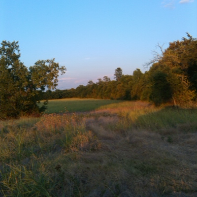
LOCATION: Powell Cemetery is located in the southeast quadrant of the county. It is in Block 49 of the Lamar County Road Map produced by American Drafting and Services revised December 1993. DIRECTIONS: In the Marvin Community, turn west onto a gravel road; follow this 3/4 mile to a Y, continue south. Approximately 50 feet from this Y, there is a dirt road turning off to the east into a pasture. Graves are in the trees south of this pasture and about 125 feet from the gravel road. The cemetery contains only 3 graves. GPS COORDINATES: 33° 35' 04.48 N, 95° 28' 50.07 W
(33.5845778 Latitude and -95.480575 Longitude)
These coordinates are an approximation and you may have to search a bit in the trees for the graves.OLDEST KNOWN BURIAL: The oldest inscribed grave is that of Charlie Powell, son of M. and N. Powell, who died 27 Sep 1885. NUMBER OF GRAVES: There are 3 known graves in the cemetery. (July 2017) SIGNS/MARKERS: There is not a state highway marker for the cemetery. Historic Texas Cemetery: No Texas Historical Commission Marker: No
LAST ENUMERATION: The cemetery was recorded by Betsy Mills and Elizabeth House on March 2, 1992. ADD'L INFORMATION: The following persons are known to be buried here: Albert Powell 5 Aug 1890 - 23 Jan 1891, Charlie Powell 20 Nov 1884 - 27 Sep 1885, Thomas Powell 20 Jun 1885 - 23 Dec 1886. PICTURE(S):
Search for names in this and other cemeteries.
Return to the map page.
Return to the list of cemeteries.
Return to the main Lamar County, TX page.
Special thanks to Jeff Kemp for designing the Lamar County banner. |
|
|
Copyright © 1996 —
— The Lamar County TX Website Team This website adheres to the NGS "Standards for Sharing Information with Others" regarding copyright, attribution, privacy, and the sharing of sensitive information. |