| |||
LOCATION: Mt. Tabor Cemetery is located in the northwest quadrant of the county. It is in Block 23 of the Lamar County Road Map produced by American Drafting and Services revised December 1993. DIRECTIONS: The cemetery is located about 8 miles from the intersection of Highway 271 and Loop 286, on Farm Market Road 1499, between the Caviness and Emberson communities. GPS COORDINATES: 33° 45' 27.6834 N, 95° 37' 18.5514 W
(33.75768983 Latitude and -95.62181983 Longitude)OLDEST KNOWN BURIAL: The oldest inscribed grave is that of Ewell Rouselle Caviness who died 4 Jan 1916. NUMBER OF GRAVES: There are 989 known graves in the cemetery. (July 2017) SIGNS/MARKERS: There is a state highway marker for the cemetery. Historic Texas Cemetery: No Texas Historical Commission Marker: No
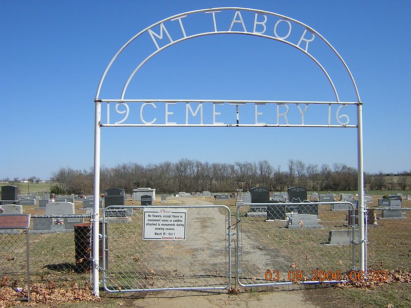
LAST ENUMERATION: The cemetery was enumerated on 25 Jan 1992 by Debbie Anderson, Ron Brothers, Patricia Ferguson, Ruth Renfro and Roberta Woods. ADD'L INFORMATION: None. PICTURE(S): This cemetery photo is used with permission from Christie Marie Shepherd.
View pictures of the headstones - Surnames A-K.
View pictures of the headstones - Surnames L-Z.
Search for names in this and other cemeteries.
Return to the map page.
Return to the list of cemeteries.
Return to the main Lamar County, TX page.
Special thanks to Jeff Kemp for designing the Lamar County banner. |
|
|
Copyright © 1996 —
— The Lamar County TX Website Team This website adheres to the NGS "Standards for Sharing Information with Others" regarding copyright, attribution, privacy, and the sharing of sensitive information. |