| |||
LOCATION: Mt. Pleasant Cemetery is located in the southeast quadrant of the county near Deport. It should not be confused with the Old Mt. Pleasant Cemetery in the northeast quadrant near Providence Baptist Church. It is in Block 59 of the Lamar County Road Map produced by American Drafting and Services revised December 1993. DIRECTIONS: The cemetery is about .5 mile south of road that turns to go to Highland Cemetery. It is located behind a feed store that used to be a church and is now a farm equipment sales and now appears to be abandoned. A road to access the cemetery is on the left (west) side of the building. GPS COORDINATES: 33° 32' 17.04 N, 95° 20' 30.51 W
(33.5380667 Latitude and -95.3418083 Longitude)OLDEST KNOWN BURIAL: The oldest inscribed grave is that of Sammie Bryan, son of J. T. and M. A. Bryan who died 13 Feb 1874. NUMBER OF GRAVES: There are 490 known graves in the cemetery. (July 2017) SIGNS/MARKERS: There is a state highway marker for the cemetery. Historic Texas Cemetery: Yes Texas Historical Commission Marker: Yes (2000)
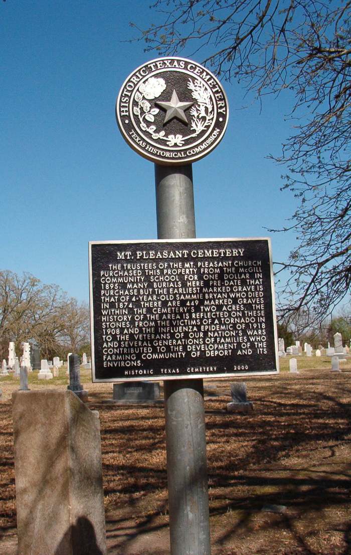
The following is from the Historical marker at the cemetery:
Mt. Pleasant Cemetery - The trustees of the Mt. Pleasant Church purchased this property from the McGill Community School for one dollar in 1895. Many burials here pre date that purchase but the earliest marked grave is that of 4-year-old Sammie Bryan who died in 1874. There are 449 marked graves within the cemtery's two acres. The history of the area is reflected on these stones, from the victims of a tornado in 1908 and the influenza epidemic of 1918 to the veterans of our nation's wars and several generations of families who contributed to the development of the farming community of Deport and its environs. - Historic Texas Cemetery - 2000.
LAST ENUMERATION: The cemetery was recorded by Roberta J. Woods, Cleo Weaver and Debbie Hallman in November, 1992. ADD'L INFORMATION: None. PICTURE(S):
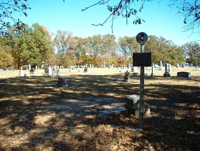
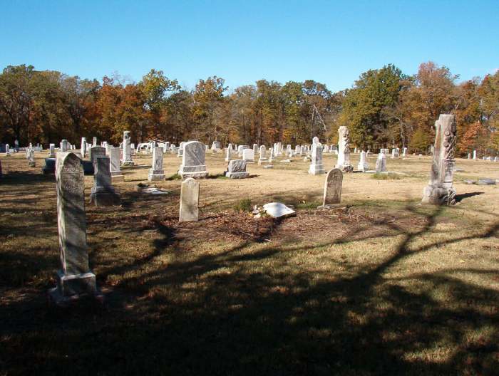
Mt. Pleasant Cemetery, looking northwest.
Mt. Pleasant Cemetery Historical Marker
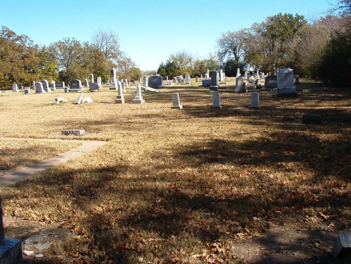
Mt. Pleasant Cemetery, looking east
Mt. Pleasant Cemetery, looking northalt="Antioch">
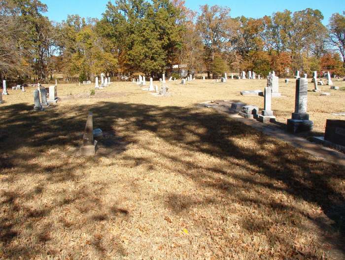
Mt. Pleasant Cemetery, looking west
View pictures of the headstones.
Search for names in this and other cemeteries.
Return to the map page.
Return to the list of cemeteries.
Return to the main Lamar County, TX page.
Special thanks to Jeff Kemp for designing the Lamar County banner. |
|
|
Copyright © 1996 —
— The Lamar County TX Website Team This website adheres to the NGS "Standards for Sharing Information with Others" regarding copyright, attribution, privacy, and the sharing of sensitive information. |