| |||
LOCATION: Minter Cemetery is located in the southeast quadrant of the county in the Biardstown community in Block 63 of the Lamar County Road Map produced by American Drafting and Services revised December 1993. DIRECTIONS: The cemetery is on County Road 16240 about one mile due west of the intersection of Farm Market Road 196 and Farm Market Road 1503. GPS COORDINATES: 33° 28' 14.93" N, -95° 24' 12" W
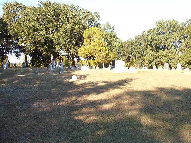
(33.470814 Latitude and -95.403353 Longitude)OLDEST KNOWN BURIAL: The oldest inscribed grave is an unmarked grave of Clarinda White Robinson who died 4 Apr 1863. NUMBER OF GRAVES: There are 323 known graves in the cemetery. (July 2017) SIGNS/MARKERS: There is a state highway marker for the cemetery. LAST ENUMERATION: Updated with the records of Elizabeth Booth, Ron Brothers recorded the cemetery in November 1992. ADD'L INFORMATION: None. PICTURE(S): This cemetery photo is used with permission from Mary Hall Ferguson.
View pictures of the headstones.
Search for names in this and other cemeteries.
Return to the map page.
Return to the list of cemeteries.
Return to the main Lamar County, TX page.
Special thanks to Jeff Kemp for designing the Lamar County banner. |
|
|
Copyright © 1996 —
— The Lamar County TX Website Team This website adheres to the NGS "Standards for Sharing Information with Others" regarding copyright, attribution, privacy, and the sharing of sensitive information. |