| |||
LOCATION: Long Cemetery is located in the northeast quadrant of the county. It is in Block 17 of the Lamar County Road Map produced by American Drafting and Services revised December 1993. DIRECTIONS: Long Cemetery is located about 3 1/2 miles east of the intersection of Highway 271 and Farm Market Road #2648. It is at the dead end of County Road 44250. GPS COORDINATES: 33° 46' 35.3795'' N, 95° 29' 11.8428'' W.
(33.7764943 Latitude and -95.486623 Longitude)OLDEST KNOWN BURIAL: The oldest inscribed grave is that of Mary Ann Stephens Smyers who died 27 Jul 1853. NUMBER OF GRAVES: There are 930 known graves in the cemetery. (January 13, 2021) SIGNS/MARKERS: There is a state highway marker for the cemetery. LAST ENUMERATION: The cemetery was once recorded by Wilma Mullens Jordan and verified in August 1990 by Ron Brothers. ADD'L INFORMATION: This well kept cemetery has the graves of some of the early farmers who settled in the northeast part of the county. Among the many families represented here are Brothers, Castlebury, Cobb, Conder, Deweese, Duff, Dunmon, Frederick, Harrell, Ingram, Jenkins, Jordan, Maddox, McElyea, McKnight, Morrison, Mullins, Popham, Reed, Rosson, Saffell, Smith, Smyers, Stephens, Swindle, Thompson, Varner, Vaughn, Weaver and Wharton. Lamar County Deed Book 2-U, p. 369: 'The State of Texas // County of Lamar // Know all men by these presents that I, W. P. Long of the County of Lamar and State of Texas, for and in consideration of the respect and love of the community of Palestine, have granted, sold and conveyed, and by these presents do grant and convey unto the said Palestine community and the community, a certain tract of land situated in the County of Lamar and State of Texas, and described as follows, to wit: a tract of land containing three fourths of an acre more or less and beginning at the S. E. corner a post oak and running W, 160 feet to a mulberry stake, Thence N 212 feet to a mulberry stake, Thence East 160 feet to a mulberry stake, thence South to the place of beginning containing as above stated, and about ten miles NE of Paris and situated in the South East corner of the Stephens survey and on the tract of land that the said W. P. Long now resides, To have and to hold the above described premises, together with all and singular the rights, members, improvements, hereditaments and appurtenances therein anywise belonging unto the said Palestine Community heirs or assigns forever in fee simple. And I do hereby bind myself and my heirs, executors and administrators to forever warrant and defend the right and title to the said premises unto the said Palestine Community against every person whomsoever, lawfully claiming or to claim the same or any part thereof. Witness my hand this 18th day of November A.D. 1884. W. P. Long.'
There are many unknown and unmarked graves in the southeastern section of the cemetery that can never be identified.
The Long Cemetery Association meets the first Sunday in October at noon for a covered dish lunch at the cemetery. Contact for the cemetery is David Glass, 2407 Lamar Ave. Suite A.
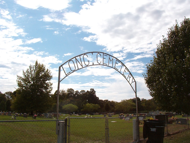
PICTURE(S):
View pictures of the headstones.
Search for names in this and other cemeteries.
Return to the map page.
Return to the list of cemeteries.
Return to the main Lamar County, TX page.
Special thanks to Jeff Kemp for designing the Lamar County banner. |
|
|
Copyright © 1996 —
— The Lamar County TX Website Team This website adheres to the NGS "Standards for Sharing Information with Others" regarding copyright, attribution, privacy, and the sharing of sensitive information. |