| |||
LOCATION: El Bethel Cemetery is also mistakenly known as Brookston Shiloh Cemetery as the highway department placed a sign bearing that name here. It is located in the northwest quadrant of the county in Block 30 of the Lamar County Road Map produced by American Drafting and Services revised December 1993. DIRECTIONS: The cemetery is about 4 miles west of Paris, and northwest of Toco, on County Road 33010 that runs west of the Flying Tigers Museum, between Highway 82 and Farm Market Road 1510. The cemetery is .2 miles south of Farm Market Road 1510. GPS COORDINATES: 33° 39' 20.46 N, 95° 39' 20.09 W.
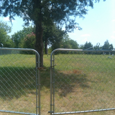
(33.65568 Latitude and -95.65558 Longitude)OLDEST KNOWN BURIAL: The oldest inscribed grave is that of Mollie Schiede who died 26 Nov 1896. NUMBER OF GRAVES: There are 179 known graves in the cemetery. (July 2017) SIGNS/MARKERS: There is a state highway marker for the cemetery. LAST ENUMERATION: The cemetery was recorded by Ron Brothers in August 1990. ADD'L INFORMATION: No other information is known. PICTURE(S): This cemetery photo is used with permission from Mary Hall Ferguson.
View pictures of the headstones.
Search for names in this and other cemeteries.
Return to the map page.
Return to the list of cemeteries.
Return to the main Lamar County, TX page.
Special thanks to Jeff Kemp for designing the Lamar County banner. |
|
|
Copyright © 1996 —
— The Lamar County TX Website Team This website adheres to the NGS "Standards for Sharing Information with Others" regarding copyright, attribution, privacy, and the sharing of sensitive information. |